Loading...
Loading map...2024 Map of Evening Shade
USGS Topo · Published 2024About this map
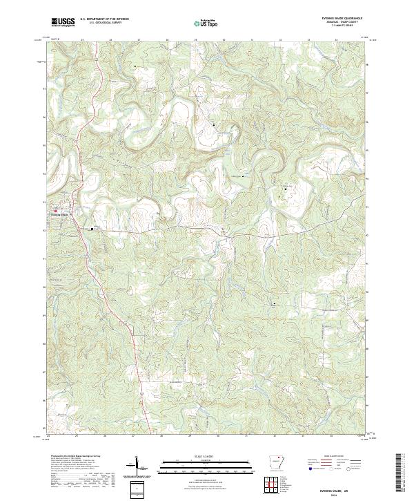
Evening Shade sits as the primary settlement in this Ozark foothills landscape, positioned along the winding Strawberry River. The topography is defined by the prominent ridge known as The Backbone, which runs parallel to the river valley. The region is characterized by a high density of family-named cemeteries and rural landmarks that reflect generations of local settlement, including Fore Cem, Lafferty Cem, and Barnes Cem.
Find a feature on this map
82 named features on this map. Tap any name to fly to it.
Don’t see what you’re looking for? This feature index may not catch every label — zoom into the map to look around manually.
Map Details
Date Portrayed2024
Date Published2024
PublisherU.S. Geological Survey
Map TypeTopographic
Scale1:24000
Physical Dimensions24 x 29 inches
Editions of this 2024 Evening Shade Map
This is the sole edition of this map. No revisions or reprints were ever made.
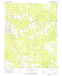
Historical Maps of Evening Shade Through Time
Featured Locations
Source Details
SourceU.S. Geological Survey
CopyrightPublic Domain