2022 Map of Everest
USGS Topo · Published 2022About this map
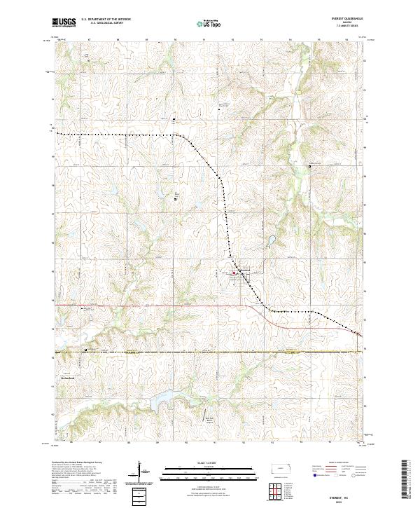
Everest and the surrounding farmland of Brown and Atchison counties are characterized by a dense network of local cemeteries and small-scale aviation. The landscape is defined by the headwaters of several drainages, including the S Fork Wolf River, Otter Creek, and Buttermilk Creek, which carve gentle valleys through the agricultural grid. Notable local landmarks for researchers include the Bent Nail Ranch Airport and a concentration of denominational burial grounds like the Zion Lutheran Church Cem and Saint Leos Catholic Cem. Further south, the settlement of Kennekuk sits near the Kennekuk Cem, marking a site with deep ties to the region's early transit history. The map's grid of section roads, such as Mulberry Road and Sunflower Road, illustrates the enduring structure of Kansas township organization.
Find a feature on this map
52 named features on this map. Tap any name to fly to it.
Don’t see what you’re looking for? This feature index may not catch every label — zoom into the map to look around manually.
Map Details
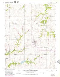
Editions of this 2022 Everest Map
This is the sole edition of this map. No revisions or reprints were ever made.
Historical Maps of Everest Through Time
Featured Locations
- Atchison County, KS
- Grasshopper Township, KS
- Lancaster Township, KS
- Everest, KS
- Kennekuk, Grasshopper Township