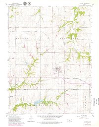
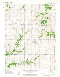
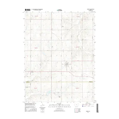
1961 Map of Everest
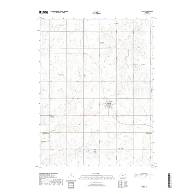
USGS Topo · Published 1979About this map
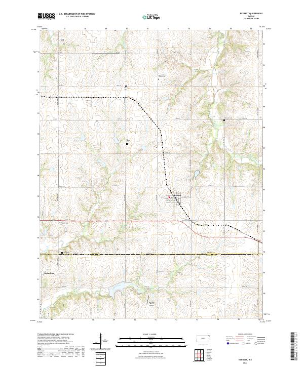
The town of Everest serves as the primary hub of this 1960s Kansas landscape, situated at the intersection of critical rail infrastructure. The Missouri Pacific and the Chicago Rock Island and Pacific railroads dominate the regional transport pattern, facilitating movement across the Brown Co Atchison Co line. Smaller settlements like Kennekuk appear to the southwest, while the rural character of the land is defined by a network of family and community landmarks, including Zion Ch and several burial grounds such as Kennekuk Cem and Kimberlin Cem.
Find a feature on this map
20 named features on this map. Tap any name to fly to it.
Don’t see what you’re looking for? This feature index may not catch every label — zoom into the map to look around manually.
Map Details
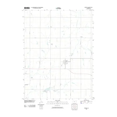
Editions of this 1961 Everest Map
2 editions found
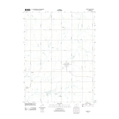
Historical Maps of Everest Through Time
6 maps found
Featured Locations
- Atchison County, KS
- Grasshopper Township, KS
- Lancaster Township, KS
- Everest, KS
- Kennekuk, Grasshopper Township