Loading...
Loading map...2021 Map of Everton
USGS Topo · Published 2021About this map
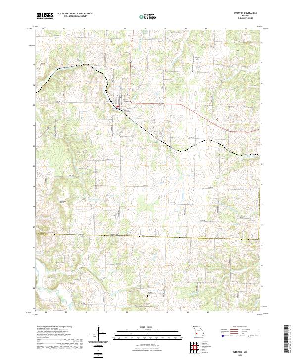
Everton serves as the central hub of this agricultural landscape in southwestern Missouri, situated near the border of Dade Co and Lawrence Co. The terrain is defined by a dense network of waterways, including Turnback Creek and several spring-fed branches like Ray Spring Br and Scott Spring Br. The presence of Ray Spring and Scott Spring indicates the karst topography common to this region, where groundwater significantly shapes the surface drainage.
Find a feature on this map
87 named features on this map. Tap any name to fly to it.
Don’t see what you’re looking for? This feature index may not catch every label — zoom into the map to look around manually.
Map Details
Date Portrayed2021
Date Published2021
PublisherU.S. Geological Survey
Map TypeTopographic
Scale1:24000
Physical Dimensions24 x 29 inches
Editions of this 2021 Everton Map
This is the sole edition of this map. No revisions or reprints were ever made.
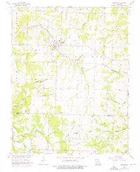
Historical Maps of Everton Through Time
Featured Locations
Source Details
SourceU.S. Geological Survey
CopyrightPublic Domain