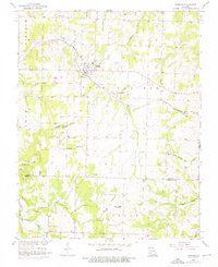
1956 Map of Everton
USGS Topo · Published 1976About this map
Everton serves as the central hub of this mid-century Missouri landscape, situated where the St Louis San Francisco railroad cuts through the terrain. The map captures a rural social fabric defined by country churches and small-scale water features. Small communities and landmarks like Eddington and the Community Hall are linked by a network of spring-fed branches, including Ray Spring Branch and Scott Spring Br.
Find a feature on this map
32 named features on this map. Tap any name to fly to it.
Don’t see what you’re looking for? This feature index may not catch every label — zoom into the map to look around manually.
Map Details
Editions of this 1956 Everton Map
2 editions found
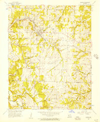
Other maps of this area

1886 · Greenfield
USGS Topo · 1:125,000

1888 · Greenfield
USGS Topo · 1:125,000

1919 · Halltown
USGS Topo · 1:62,500

1921 · Stotts City
USGS Topo · 1:62,500

1954 · Springfield
USGS Topo · 1:250,000

1955 · Dadeville
USGS Topo · 1:24,000

1956 · Ash Grove
USGS Topo · 1:24,000
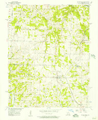
1956 · Walnut Grove
USGS Topo · 1:24,000

1956 · Greenfield
USGS Topo · 1:24,000
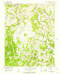
1956 · South Greenfield
USGS Topo · 1:24,000