Loading...
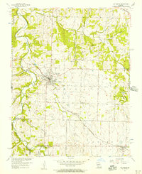
Loading map...1956 Map of Ash Grove
USGS Topo · Published 1957About this map
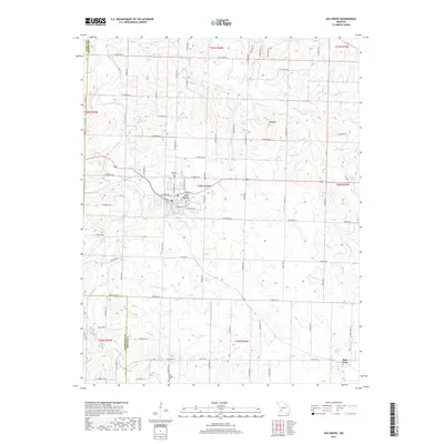
Ash Grove serves as the primary hub of activity in this mid-1950s survey of western Greene County, positioned where the St Louis San Francisco railroad cuts through the landscape. The town plan is shown in detail, including the location of the Hamilton Cem and a nearby Community Hall. The terrain is defined by the winding course of the Sac River to the west and numerous smaller tributaries such as Hawkins Branch and Clear Creek.
Find a feature on this map
42 named features on this map. Tap any name to fly to it.
Don’t see what you’re looking for? This feature index may not catch every label — zoom into the map to look around manually.
Map Details
Date Portrayed1956
Date Published1957
PublisherU.S. Geological Survey
Map TypeTopographic
Scale1:24,000
Physical Dimensions21.9 x 26.8 inches
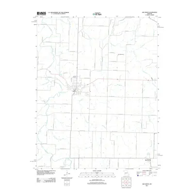
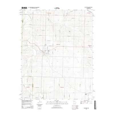
Editions of this 1956 Ash Grove Map
2 editions found
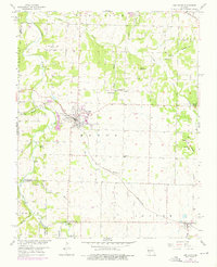
Historical Maps of Ash Grove Through Time
5 maps found

Featured Locations
Source Details
SourceU.S. Geological Survey
CopyrightPublic Domain