Loading...
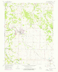
Loading map...1956 Map of Ash Grove
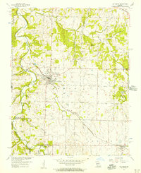
USGS Topo · Published 1975About this map
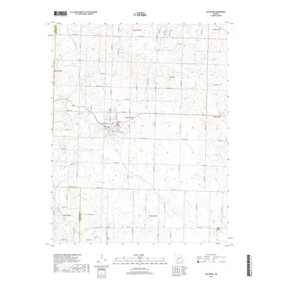
Ash Grove serves as the primary hub of this Greene County landscape, situated where the St Louis San Francisco railroad cuts through the terrain. The map documents a rural network of small community centers defined by their churches and family-named landmarks, such as Stony Point Ch, Johns Chapel, and Central Ch. Water resources are abundant throughout the region, with the Sac River and Clear Creek winding through the western and northern sections, supported by numerous springs including Leeper Spring, Kelly Spring, and Scott Spring.
Find a feature on this map
43 named features on this map. Tap any name to fly to it.
Don’t see what you’re looking for? This feature index may not catch every label — zoom into the map to look around manually.
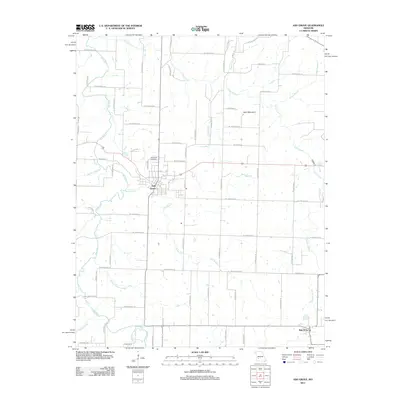
Map Details
Date Portrayed1956
Date Published1975
PublisherU.S. Geological Survey
Map TypeTopographic
Scale1:24,000
Physical Dimensions21.9 x 27 inches
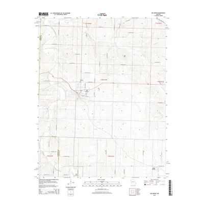
Editions of this 1956 Ash Grove Map
2 editions found
Historical Maps of Ash Grove Through Time
5 maps found

Featured Locations
Source Details
SourceU.S. Geological Survey
CopyrightPublic Domain