
1919 Map of Halltown
USGS Topo · Published 1919About this map
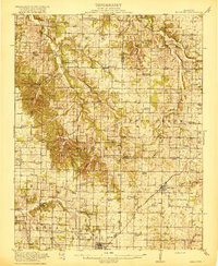
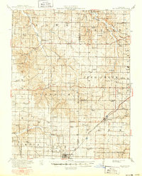
Billings and Marionville anchor the southeastern corner of this Ozark plateau landscape, where the St. Louis San Francisco railroad cuts a diagonal path toward the regional hubs. The geography is defined by the winding course of Turnback Creek and Honey Creek, creating a dense network of upland farms and rural communities. This era of settlement is characterized by a high concentration of local educational and religious institutions, including McNeil Chapel, Mt Olive Church, and a remarkable number of neighborhood schools such as Buck Prairie School and France Valley School.
Find a feature on this map
62 named features on this map. Tap any name to fly to it.
Don’t see what you’re looking for? This feature index may not catch every label — zoom into the map to look around manually.
Map Details
Editions of this 1919 Halltown Map
3 editions found
Other maps of this area

1884 · Springfield
USGS Topo · 1:125,000

1886 · Greenfield
USGS Topo · 1:125,000

1886 · Springfield
USGS Topo · 1:125,000

1888 · Greenfield
USGS Topo · 1:125,000

1907 · Forsyth
USGS Topo · 1:125,000

1921 · Stotts City
USGS Topo · 1:62,500

1936 · Brookline
USGS Topo · 1:24,000

1942 · Aurora
USGS Topo · 1:62,500

1943 · Monett
USGS Topo · 1:62,500

1945 · Harrison
USGS Topo · 1:250,000