
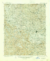
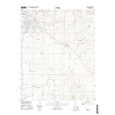
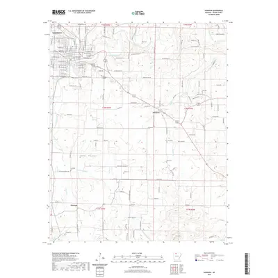
1945 Map of Harrison
USGS Topo · Published 1945About this map
The White River carves a winding path through the borderlands of Missouri and Arkansas, anchoring a region of the Ozark Mountains and Boston Mountains before the full impact of mid-century dam projects. This Army Map Service compilation shows the landscape in transition, where the Mark Twain National Forest and Ozark National Forest dominate the high ridges. Significant rail corridors like the St Louis-San Francisco RR and Missouri & Arkansas RR connect traditional hill country settlements, while the emergence of the Bull Shoals Res and Norfork Lake signals the coming transformation of the river valleys. Local landmarks such as Sugarloaf Knob, Boat Mountain, and Gaither Mountain provide a topographic framework for a network of small towns including Mountain Home, Gassville, and Yellville, reflecting a rural economy built on timber, transport, and the early stages of hydroelectric development.
Find a feature on this map
94 named features on this map. Tap any name to fly to it.
Don’t see what you’re looking for? This feature index may not catch every label — zoom into the map to look around manually.
Map Details
Editions of this 1945 Harrison Map
This is the sole edition of this map. No revisions or reprints were ever made.
Historical Maps of Ozark Through Time
15 maps found

1904 Harrison
Boone County, AR
1905 Harrison
Boone County, AR
1945 Harrison
Boone County, AR

1949 Harrison
Boone County, AR

1954 Harrison
Boone County, AR

1958 Harrison
Boone County, AR

1964 Harrison
Boone County, AR
1967 Harrison
Boone County, AR

1985 Harrison
Boone County, AR

1985 Harrison
Boone County, AR
2011 Harrison
Boone County, AR
2014 Harrison
Boone County, AR
2017 Harrison
Boone County, AR
2020 Harrison
Boone County, AR
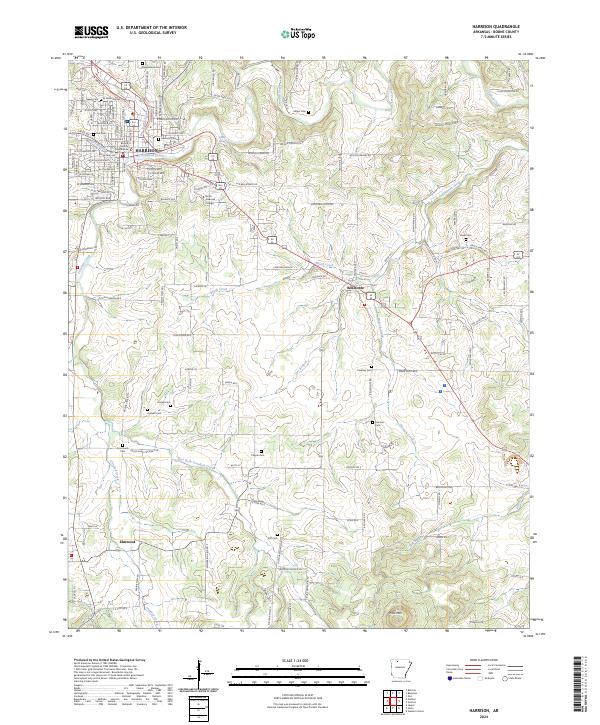
2024 Harrison
Boone County, AR