
1956 Map of Greenfield
USGS Topo · Published 1957About this map
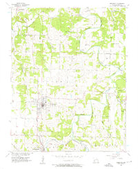
Greenfield serves as the primary hub of this Dade County landscape, its grid of streets centered near Toney Park and a cluster of local cemeteries. The town sits at a high point between the meandering Sac River and Turnback Creek, which define the agricultural valleys to the east and south. To the south, the settlement of South Greenfield is situated along the San Francisco St Louis railroad, a vital transportation artery for the mid-century regional economy. Rural life in the mid-1950s is reflected in the numerous family-named landmarks and spiritual centers, such as Carr Chapel, Union Chapel, and Mount Olive Ch. Geological features like Hoyle Cave and river crossings such as Fiddlers Ford and Suttee Bridge illustrate how the natural terrain dictated the movement of residents between small family farms and the county's larger trade centers.
Find a feature on this map
37 named features on this map. Tap any name to fly to it.
Don’t see what you’re looking for? This feature index may not catch every label — zoom into the map to look around manually.
Map Details
Editions of this 1956 Greenfield Map
3 editions found
Other maps of this area

1886 · Stockton
USGS Topo · 1:125,000

1886 · Greenfield
USGS Topo · 1:125,000

1888 · Greenfield
USGS Topo · 1:125,000

1954 · Springfield
USGS Topo · 1:250,000

1955 · Dadeville
USGS Topo · 1:24,000
1956 · Kings Point
USGS Topo · 1:24,000
1956 · Lockwood
USGS Topo · 1:24,000
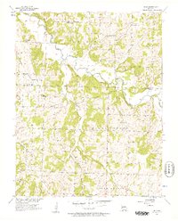
1956 · Bona
USGS Topo · 1:24,000
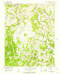
1956 · South Greenfield
USGS Topo · 1:24,000
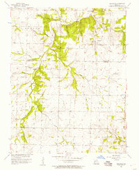
1956 · Cedarville
USGS Topo · 1:24,000