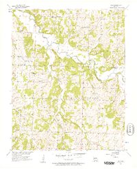
1956 Map of Bona
USGS Topo · Published 1957About this map
The Little Sac River meanders through the heart of this Dade County landscape, carving a valley defined by prominent natural features such as Perkins Bluff and Tunnel Bluff. In the mid-1950s, the area remained a rural network of small agricultural settlements like Bona, Masters, and Cane Hill, connected by winding roads and several creek crossings. The map reveals a high density of rural community centers, with family-named landmarks and local institutions serving the Madison and North Morgan townships.
Find a feature on this map
35 named features on this map. Tap any name to fly to it.
Don’t see what you’re looking for? This feature index may not catch every label — zoom into the map to look around manually.
Map Details
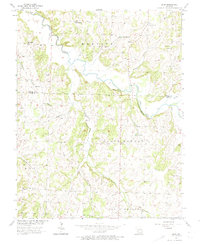
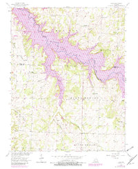
Editions of this 1956 Bona Map
3 editions found
Other maps of this area

1886 · Stockton
USGS Topo · 1:125,000

1886 · Greenfield
USGS Topo · 1:125,000

1888 · Greenfield
USGS Topo · 1:125,000

1954 · Springfield
USGS Topo · 1:250,000

1955 · Dadeville
USGS Topo · 1:24,000
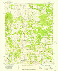
1956 · Fair Play
USGS Topo · 1:24,000
1956 · Walnut Grove
USGS Topo · 1:24,000
1956 · Stockton
USGS Topo · 1:24,000
1956 · Bearcreek
USGS Topo · 1:24,000

1956 · Greenfield
USGS Topo · 1:24,000