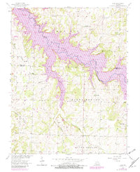
1956 Map of Bona
USGS Topo · Published 1982About this map
The Little Sac River valley defines the character of this Dade County landscape, which underwent significant change between the original 1950s survey and the early 1980s updates. The most striking transformation is the expansion of Stockton Lake, which submerged portions of the river valley and its tributary systems, including Maze Creek and Mutton Creek. This map documents the area during a period of transition from traditional valley farming toward a landscape oriented around the reservoir. The small settlement of Masters sits near the northern reaches of the lake, while the terrain is dissected by numerous family-named waterways such as Hartley Branch and Adams Branch. The inclusion of Big Tunnel Bluff Branch highlights the distinct local topography that once overlooked the free-flowing river before the reservoir's waters rose.
Find a feature on this map
10 named features on this map. Tap any name to fly to it.
Don’t see what you’re looking for? This feature index may not catch every label — zoom into the map to look around manually.
Map Details
Editions of this 1956 Bona Map
3 editions found
Other maps of this area

1886 · Stockton
USGS Topo · 1:125,000

1886 · Greenfield
USGS Topo · 1:125,000

1888 · Greenfield
USGS Topo · 1:125,000

1954 · Springfield
USGS Topo · 1:250,000

1955 · Dadeville
USGS Topo · 1:24,000
1956 · Fair Play
USGS Topo · 1:24,000
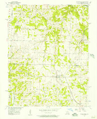
1956 · Walnut Grove
USGS Topo · 1:24,000
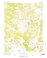
1956 · Stockton
USGS Topo · 1:24,000
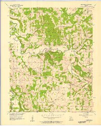
1956 · Bearcreek
USGS Topo · 1:24,000

1956 · Greenfield
USGS Topo · 1:24,000