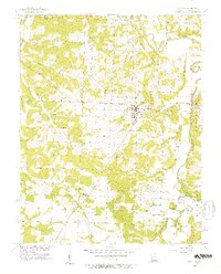
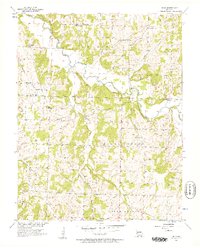
1956 Map of Stockton
USGS Topo · Published 1957About this map
Stockton serves as the focal point of this mid-1950s survey of Cedar County, situated at the confluence of several townships including Washington, Linn, and Jefferson. The landscape is defined by the winding paths of the Sac River and the Little Sac River, which dominate the eastern and southern portions of the quadrangle. High ground is marked by prominent landforms such as Gravely Bluff, Cedar Bluff, and King Hill, while the drainage network includes numerous named tributaries like Cedar Creek, Blue Branch, and Polecat Creek.
Find a feature on this map
32 named features on this map. Tap any name to fly to it.
Don’t see what you’re looking for? This feature index may not catch every label — zoom into the map to look around manually.
Map Details
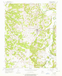
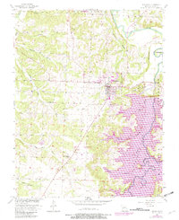
Editions of this 1956 Stockton Map
3 editions found
Other maps of this area

1886 · Stockton
USGS Topo · 1:125,000

1939 · Caplinger Mills
USGS Topo · 1:24,000

1939 · Arnica
USGS Topo · 1:24,000

1939 · Filley
USGS Topo · 1:24,000

1940 · Filley
USGS Topo · 1:24,000

1941 · Caplinger Mills
USGS Topo · 1:24,000

1941 · Arnica
USGS Topo · 1:24,000

1954 · Springfield
USGS Topo · 1:250,000
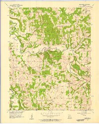
1956 · Bearcreek
USGS Topo · 1:24,000
1956 · Bona
USGS Topo · 1:24,000