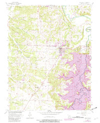
1956 Map of Stockton
USGS Topo · Published 1982About this map
Stockton serves as the focal point of this survey, which captures a landscape transformed by the creation of the Stockton Lake reservoir. The map documents the flooded valleys where the Sac River and Little Sac River converge, revealing how the rising waters reshaped local geography around landmarks like Gravely Bluff and Rudledge Bluff. While the town of Stockton remains on high ground, southern areas show the emergence of recreation-focused infrastructure, including the Stockton Public Use Area and Orleans Trail Public Use Area.
Find a feature on this map
47 named features on this map. Tap any name to fly to it.
Don’t see what you’re looking for? This feature index may not catch every label — zoom into the map to look around manually.
Map Details
Editions of this 1956 Stockton Map
3 editions found
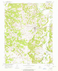
Other maps of this area

1886 · Stockton
USGS Topo · 1:125,000

1939 · Caplinger Mills
USGS Topo · 1:24,000

1939 · Arnica
USGS Topo · 1:24,000

1939 · Filley
USGS Topo · 1:24,000

1940 · Filley
USGS Topo · 1:24,000

1941 · Caplinger Mills
USGS Topo · 1:24,000

1941 · Arnica
USGS Topo · 1:24,000

1954 · Springfield
USGS Topo · 1:250,000
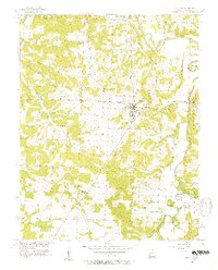
1956 · Stockton
USGS Topo · 1:24,000
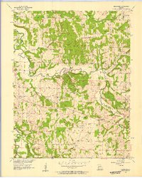
1956 · Bearcreek
USGS Topo · 1:24,000