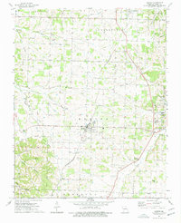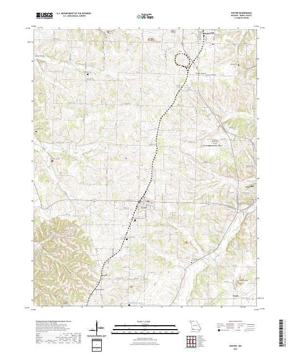
2021 Map of Exeter
USGS Topo · Published 2021About this map
Exeter and its surrounding Barry County landscapes are defined by a complex network of hollows and springs that feeding into the southern Missouri watershed. The settlement pattern is anchored by small communities like Butterfield to the north and Wayne to the south, while the eastern edge is influenced by the growth of Cassville. The terrain is marked by distinct geological features such as Candy Hollow, Corder Hollow, and the unusual Buffalo Bog, which illustrate the varied hydrology of the region.
Find a feature on this map
64 named features on this map. Tap any name to fly to it.
Don’t see what you’re looking for? This feature index may not catch every label — zoom into the map to look around manually.
Map Details
Editions of this 2021 Exeter Map
This is the sole edition of this map. No revisions or reprints were ever made.