
1975 Map of Faison
USGS Topo · Published 1977About this map
Faison serves as the primary hub in this mid-1970s landscape, situated along the Seaboard Coast Line railroad in the northeastern corner of the sheet. The map documents a predominantly agrarian environment defined by a dense network of low-lying waterways, including Tenmile Swamp, Six Runs Creek, and Mill Swamp. These drainage systems dictate the placement of small rural settlements and crossroads such as Hargrove Crossroads, Poplar Grove, and Hatcher. Local community life is evidenced by numerous country churches and schools, including St Gabriels Ch, Hill Chapel, and the Hargrove Sch. The topography is notably flat, with many small cemeteries—simply labeled Cem—tucked away near family home sites and church grounds. This survey provides a clear view of the Sampson and Duplin county line as it existed before significant modern expansion, preserving the location of farmstead field lines and rural infrastructure.
Find a feature on this map
34 named features on this map. Tap any name to fly to it.
Don’t see what you’re looking for? This feature index may not catch every label — zoom into the map to look around manually.
Map Details
Editions of this 1975 Faison Map
This is the sole edition of this map. No revisions or reprints were ever made.
Other maps of this area

1909 · Coharie
USGS Topo · 1:62,500

1953 · Florence
USGS Topo · 1:250,000

1953 · Raleigh
USGS Topo · 1:250,000

1954 · Florence
USGS Topo · 1:250,000

1954 · Raleigh
USGS Topo · 1:250,000

1959 · Garland
USGS Topo · 1:62,500

1962 · Rose Hill
USGS Topo · 1:62,500
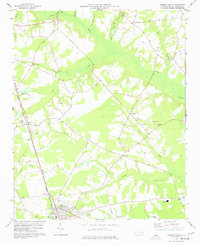
1977 · Warsaw North
USGS Topo · 1:24,000
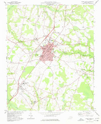
1977 · Mount Olive
USGS Topo · 1:24,000
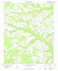
1978 · Dobbersville
USGS Topo · 1:24,000