Loading...
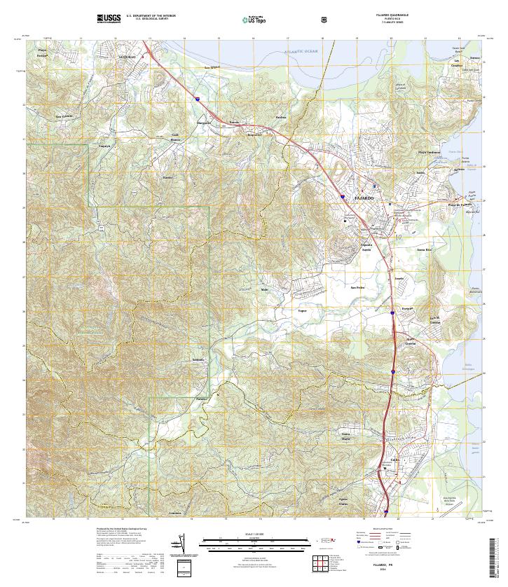
Loading map...2024 Map of Fajardo
USGS Topo · Published 2024About this map
Fajardo serves as the dominant urban hub on this northeastern coast of the Island of Puerto Rico, where dense residential neighborhoods like Espanta Sueño and San Pedro meet the Atlantic Ocean. The landscape is a study in contrasts, transitioning from the high peaks of El Yunque National Forest and Cuchilla Naranjo in the west down to the coastal developments of Playa Sardinera and Puerto Chico.
Find a feature on this map
80 named features on this map. Tap any name to fly to it.
Don’t see what you’re looking for? This feature index may not catch every label — zoom into the map to look around manually.
Map Details
Date Portrayed2024
Date Published2024
PublisherU.S. Geological Survey
Map TypeTopographic
Scale1:20000
Physical Dimensions29 x 33.5 inches
Editions of this 2024 Fajardo Map
This is the sole edition of this map. No revisions or reprints were ever made.
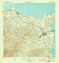
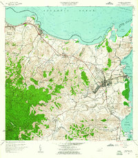
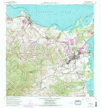
Historical Maps of Ocean Plaza Through Time
5 maps found

Featured Locations
Source Details
SourceU.S. Geological Survey
CopyrightPublic Domain