Loading...
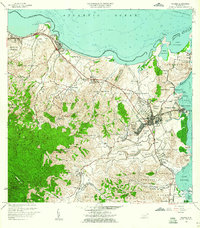
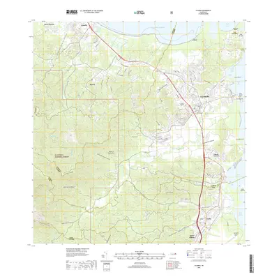
Loading map...1958 Map of Fajardo
USGS Topo · Published 1960About this map
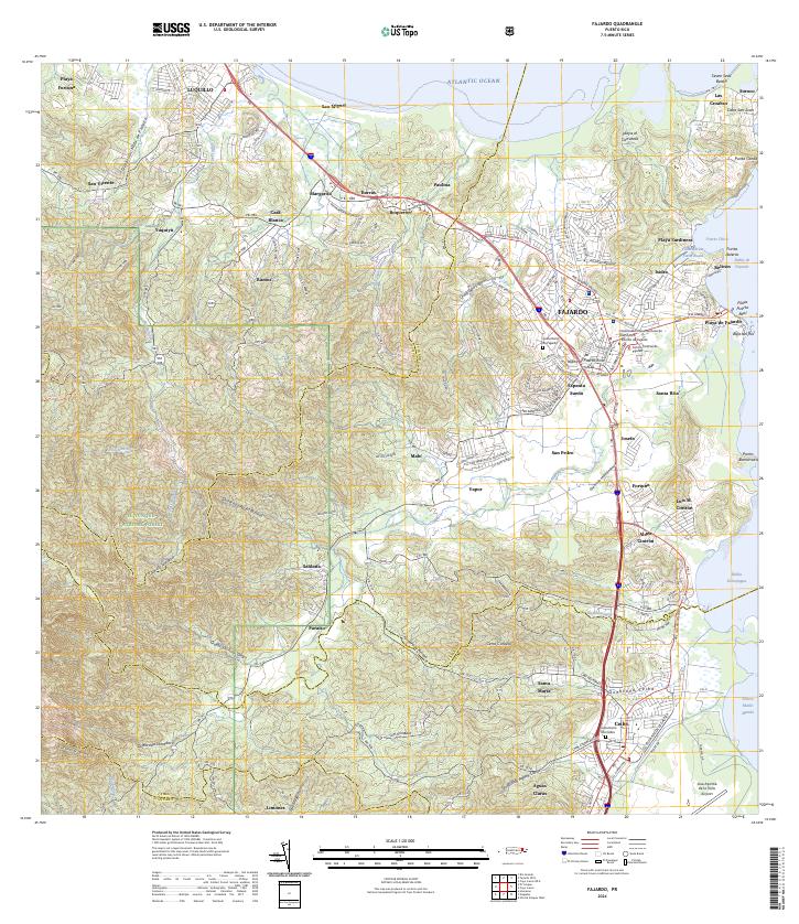
Fajardo sits at the nexus of the northeastern coastline and the foothills of El Yunque, serving as a vital port and cultural hub during the late 1950s. The urban center is divided into distinct districts such as Pueblo Norte and Pueblo Sur, while the Fajardo Development Company network indicates the importance of industrial transport in the region. Along the northern shore, Luquillo is defined by its Balneario Luquillo and the surrounding coastline near Punta La Bandera.
Find a feature on this map
80 named features on this map. Tap any name to fly to it.
Don’t see what you’re looking for? This feature index may not catch every label — zoom into the map to look around manually.
Map Details
Date Portrayed1958
Date Published1960
PublisherU.S. Geological Survey
Map TypeTopographic
Scale1:20,000
Physical Dimensions28.2 x 32.2 inches
Editions of this 1958 Fajardo Map
This is the sole edition of this map. No revisions or reprints were ever made.
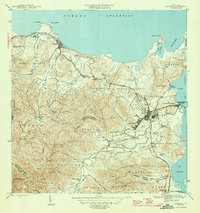
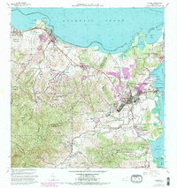
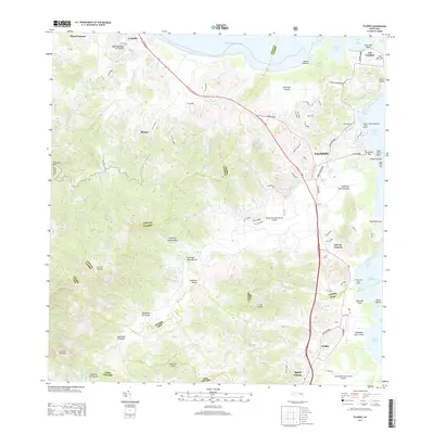
Historical Maps of Fajardo Through Time
7 maps found

Featured Locations
Source Details
SourceU.S. Geological Survey
CopyrightPublic Domain