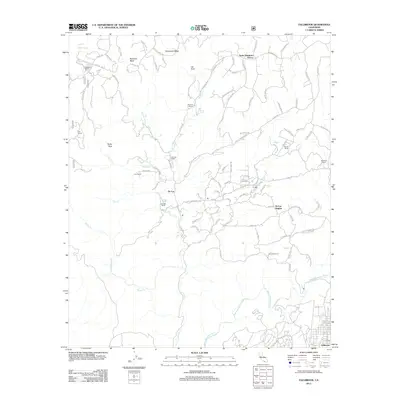
2012 Map of Fallbrook
USGS Topo · Published 2012About this map
The Santa Margarita River carves through this northern San Diego County landscape, defining a region characterized by legacy ranching and agricultural groves. In the early 21st century, the scattered settlements of De Luz and De Luz Heights represent a rural pocket of the Southern California hills, where numerous named properties like Johnson Ranch, Sky Ranch, and Richman Ranch persist. These family-named landmarks are connected by a winding network of canyon roads including De Luz Rd and Carancho Rd. To the north, the terrain rises toward Redonda Mesa and Avenaloca Mesa, overlooking the Santa Margarita Groves. The map detail captures the intersection of traditional land use and modern residential expansion near Fallbrook, providing clear documentation of water features such as Ross Lake and De Luz Cr alongside named peaks like Rocky Peak and Shogo Mountain.
Find a feature on this map
93 named features on this map. Tap any name to fly to it.
Don’t see what you’re looking for? This feature index may not catch every label — zoom into the map to look around manually.
Map Details
Editions of this 2012 Fallbrook Map
This is the sole edition of this map. No revisions or reprints were ever made.
Other maps of this area

1901 · Southern California Sheet No. 1
USGS Topo · 1:250,000

1901 · Elsinore
USGS Topo · 1:125,000

1901 · San Luis Rey
USGS Topo · 1:125,000

1904 · Southern California Sheet No. 2
USGS Topo · 1:250,000

1904 · Southern California Sheet No. 1
USGS Topo · 1:250,000

1941 · Margarita Peak
USGS Topo · 1:62,500

1942 · Lake Elsinore
USGS Topo · 1:62,500

1942 · Margarita Peak
USGS Topo · 1:62,500

1942 · Temecula
USGS Topo · 1:62,500

1942 · Murrieta
USGS Topo · 1:62,500
Featured Places
- Fallbrook, CA
- De Luz Heights, CA
- Marine Corps Base Camp Pendleton, CA
- De Luz, CA
- Santa Margarita Groves, CA