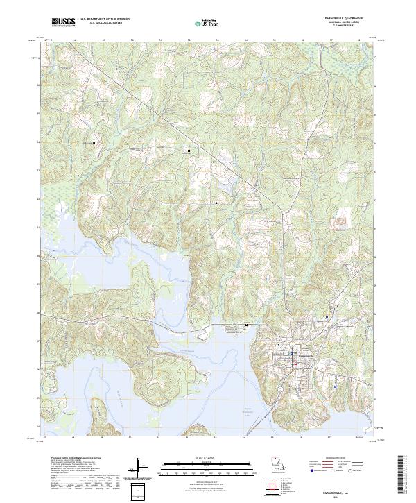
2024 Map of Farmerville
USGS Topo · Published 2024About this map
The Union Parish Courthouse serves as the focal point for Farmerville, situated above the expansive waters of Bayou D'Arbonne Lake. This contemporary survey illustrates the town's position on the bluff, where a network of residential streets like Martin Luther King Dr and Cox Ferry Rd meet the lake's northern shore. To the north and west, the landscape is defined by the winding course of Corney Bayou and Bayou D'Arbonne, cutting through the timbered terrain of Union Parish. Family heritage is deeply rooted in the local landscape, with several established burial grounds including Baughman Cem, Pearson Cem, and Zion Hill Cem situated along the secondary routes of Zion Hill Church Rd and Blair Rd. The survey also highlights the drainage patterns of Mill Creek and Fourmile Creek as they feed into the larger bayou system.
Find a feature on this map
123 named features on this map. Tap any name to fly to it.
Don’t see what you’re looking for? This feature index may not catch every label — zoom into the map to look around manually.
Map Details
Editions of this 2024 Farmerville Map
This is the sole edition of this map. No revisions or reprints were ever made.
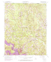
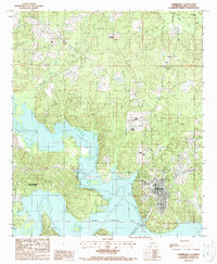
Historical Maps of Forks Ferry Point Through Time
3 maps found