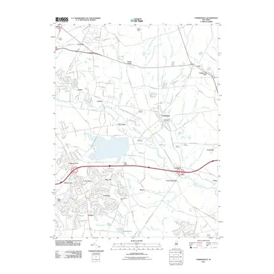
2011 Map of Farmingdale
USGS Topo · Published 2011About this map
Farmingdale serves as a central hub in this detailed 2011 survey of Monmouth County, where suburban developments such as Land of Pines, Salem Hill, and Winston Park mesh with established rural landscapes. The Manasquan River and its various tributaries, including Marsh Bog Brook and Timber Swamp Brook, define the drainage patterns of the area, while the Shark River reaches into the northeastern corner. Historical continuity is marked by several burial grounds, including the Evergreen Cemetery, Quaker Cemetery, and Brewer Cemetery.
Find a feature on this map
109 named features on this map. Tap any name to fly to it.
Don’t see what you’re looking for? This feature index may not catch every label — zoom into the map to look around manually.
Map Details
Editions of this 2011 Farmingdale Map
This is the sole edition of this map. No revisions or reprints were ever made.
Other maps of this area

1888 · New Brunswick
USGS Topo · 1:62,500

1888 · Asbury Park
USGS Topo · 1:62,500

1888 · Cassville
USGS Topo · 1:62,500

1888 · Sandy Hook
USGS Topo · 1:62,500

1893 · New Brunswick
USGS Topo · 1:62,500

1893 · Sandy Hook
USGS Topo · 1:62,500

1893 · Asbury Park
USGS Topo · 1:62,500

1894 · Cassville
USGS Topo · 1:62,500

1900 · Cassville
USGS Topo · 1:62,500

1901 · New Brunswick
USGS Topo · 1:62,500