Loading...
Loading map...2022 Map of Farmington
USGS Topo · Published 2022About this map
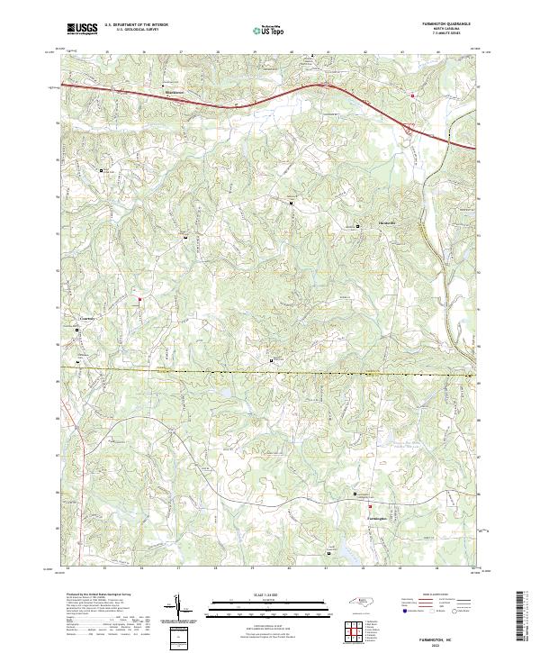
Huntsville and Farmington anchor this corner of the Piedmont, where the Yadkin River defines the eastern boundary and the Yadkin Co Davie Co line divides the landscape. The area is characterized by a dense network of creek systems including Dutchman Creek, Harmon Cr, and Deep Creek, which historically dictated the placement of early settlements and family farmsteads.
Find a feature on this map
142 named features on this map. Tap any name to fly to it.
Don’t see what you’re looking for? This feature index may not catch every label — zoom into the map to look around manually.
Map Details
Date Portrayed2022
Date Published2022
PublisherU.S. Geological Survey
Map TypeTopographic
Scale1:24000
Physical Dimensions24 x 29 inches
Editions of this 2022 Farmington Map
This is the sole edition of this map. No revisions or reprints were ever made.
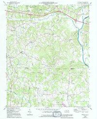
Historical Maps of Farmington Through Time
Featured Locations
Source Details
SourceU.S. Geological Survey
CopyrightPublic Domain