1969 Map of Farmland
USGS Topo · Published 1970About this map
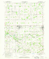
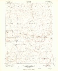
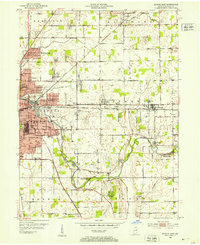
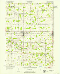
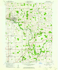
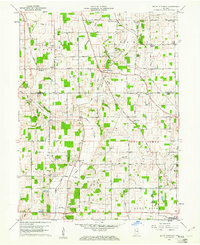
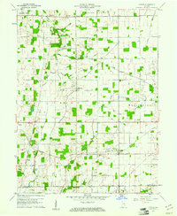
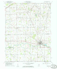
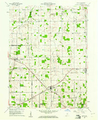
Parker and Farmland serve as the primary anchors of this 1960s agricultural landscape, situated along the Penn Central railroad corridor. The area is defined by its rectilinear grid of country roads, such as 500 North Road and Windsor Pike, which facilitate movement between scattered farmsteads and rural hubs. The White River meanders across the southern portion of the sheet, joined by several smaller tributaries including Cabin Creek and Stoney Creek.
Find a feature on this map
56 named features on this map. Tap any name to fly to it.
Don’t see what you’re looking for? This feature index may not catch every label — zoom into the map to look around manually.
Map Details
Editions of this 1969 Farmland Map
This is the sole edition of this map. No revisions or reprints were ever made.
Other maps of this area
1952 · Maxville
USGS Topo · 1:24,000
1952 · Muncie East
USGS Topo · 1:24,000
1952 · Farmland
USGS Topo · 1:24,000

1953 · Muncie
USGS Topo · 1:250,000

1956 · Muncie
USGS Topo · 1:250,000
1960 · Eaton
USGS Topo · 1:24,000
1960 · Mount Pleasant
USGS Topo · 1:24,000
1960 · Carlos
USGS Topo · 1:24,000
1960 · Ridgeville
USGS Topo · 1:24,000
1960 · Modoc
USGS Topo · 1:24,000