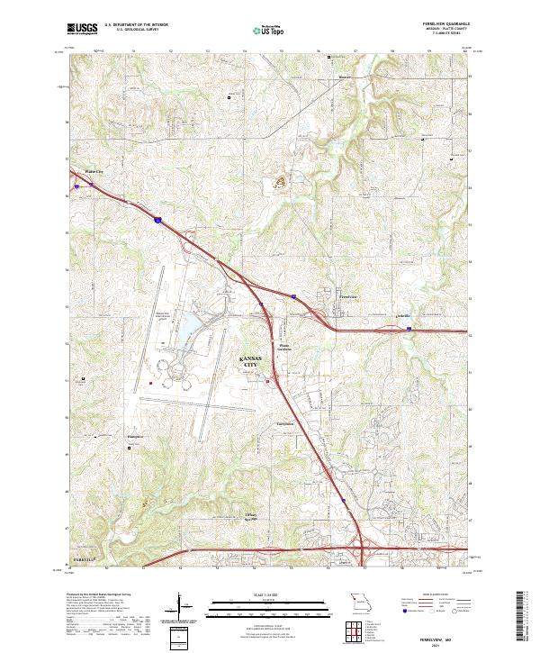
2021 Map of Ferrelview
USGS Topo · Published 2021About this map
Kansas City expands northward into Platte County on this survey, where suburban developments like Tarrytown and Platte Gardens sit adjacent to the massive infrastructure of the Kansas City International Airport. The landscape is a mix of modern transit corridors and persistent rural foundations, with numerous family burial grounds such as Waller Cem and Brasfield Cem dotting the terrain. These small cemeteries, along with Rixey Cem, serve as anchors for genealogists tracing the early farmsteads of the region.
Find a feature on this map
124 named features on this map. Tap any name to fly to it.
Don’t see what you’re looking for? This feature index may not catch every label — zoom into the map to look around manually.
Map Details
Editions of this 2021 Ferrelview Map
This is the sole edition of this map. No revisions or reprints were ever made.
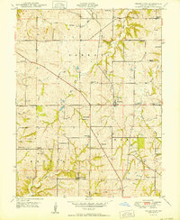
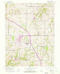
Historical Maps of Platte City Through Time
3 maps found