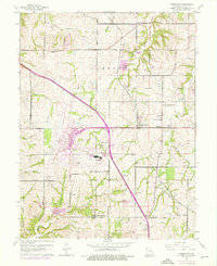
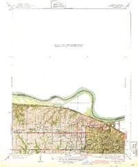
1961 Map of Ferrelview
USGS Topo · Published 1976About this map
Kansas City International Airport dominates the central landscape of this Platte County survey, showing the facility as it expanded during the mid-1970s. The map illustrates a transitional period where rural crossroads and family settlements met the encroaching Kansas City City Boundary. Established communities such as Ferrelview and Linkville sit alongside newer developments like Platte Gardens and Tarrytown, reflecting the suburbanization of the Missouri countryside.
Find a feature on this map
38 named features on this map. Tap any name to fly to it.
Don’t see what you’re looking for? This feature index may not catch every label — zoom into the map to look around manually.
Map Details
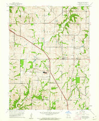
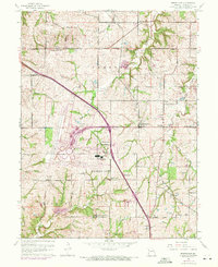
Editions of this 1961 Ferrelview Map
3 editions found
Other maps of this area

1890 · Kansas City
USGS Topo · 1:125,000

1894 · Kansas City
USGS Topo · 1:125,000

1910 · Leavenworth
USGS Topo · 1:62,500

1914 · Smithville
USGS Topo · 1:62,500

1934 · Bonner Springs
USGS Topo · 1:48,000

1934 · Wolcott
USGS Topo · 1:24,000

1935 · North Kansas City
USGS Topo · 1:24,000

1940 · Bonner Springs
USGS Topo · 1:62,500
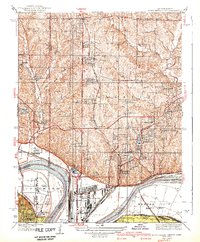
1940 · North Kansas City
USGS Topo · 1:31,680
1943 · Quindaro
USGS Topo · 1:31,680