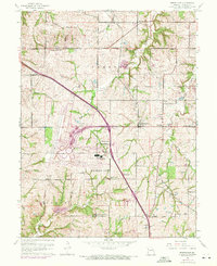
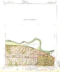
1961 Map of Ferrelview
USGS Topo · Published 1971About this map
The construction of Kansas City International Airport dominates this landscape, showing the massive infrastructure and runway expansion that reshaped Platte County during the early 1970s. This survey records the rural character of the region just as it began transitioning into a major transportation hub, with purple revision lines indicating new developments since the original 1961 field check. Small crossroads communities like Ferrelview and Linkville sit adjacent to the sprawling airfield, while the surrounding area remains dotted with family burial grounds such as Weller Cem and Brasfield Cem. The terrain is carved by numerous watercourses, including Prairie Creek and Todd Creek, which flow through the agricultural townships of Carroll and May. The presence of the Roanridge Institute and several country schools like East Platte Sch highlights the local social fabric before regional suburbanization fully took hold.
Find a feature on this map
31 named features on this map. Tap any name to fly to it.
Don’t see what you’re looking for? This feature index may not catch every label — zoom into the map to look around manually.
Map Details
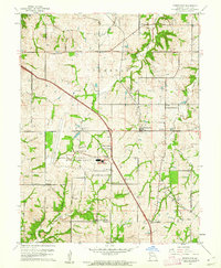
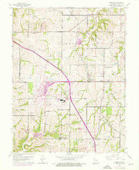
Editions of this 1961 Ferrelview Map
3 editions found
Other maps of this area

1890 · Kansas City
USGS Topo · 1:125,000

1894 · Kansas City
USGS Topo · 1:125,000

1910 · Leavenworth
USGS Topo · 1:62,500

1914 · Smithville
USGS Topo · 1:62,500

1934 · Bonner Springs
USGS Topo · 1:48,000

1934 · Wolcott
USGS Topo · 1:24,000

1935 · North Kansas City
USGS Topo · 1:24,000

1940 · Bonner Springs
USGS Topo · 1:62,500
1940 · North Kansas City
USGS Topo · 1:31,680
1943 · Quindaro
USGS Topo · 1:31,680