
1914 Map of Smithville
USGS Topo · Published 1914About this map
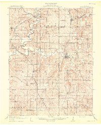
Smithville and its surrounding countryside in Clay and Platte Counties are defined by the winding course of the Platte River and the Little Platte River in the years before mid-century infrastructure changes. This agricultural landscape is densely dotted with neighborhood schoolhouses such as Stony Point School, Fry School, and Mt. Zion School, illustrating a decentralized rural education system. The region is a crossroads for multiple rail lines, including the Chicago Great Western RR and the Chicago Burlington and Quincy RR, which connect settlements like Trimble and Edgerton Junction. Local industry is tied directly to the water, evidenced by Hixson Mill and Ross Mills along the riverbanks. Early automotive travel is also represented by the transit of the Interstate Trail, while numerous bridges like Mellon Bridge and Skinner Bridge facilitate movement across the floodplains.
Find a feature on this map
86 named features on this map. Tap any name to fly to it.
Don’t see what you’re looking for? This feature index may not catch every label — zoom into the map to look around manually.
Map Details
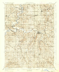
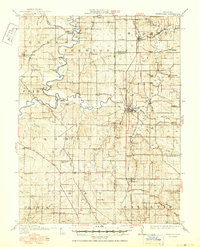
Editions of this 1914 Smithville Map
4 editions found
Other maps of this area

1890 · Kansas City
USGS Topo · 1:125,000

1894 · Kansas City
USGS Topo · 1:125,000

1894 · Independence
USGS Topo · 1:125,000

1910 · Leavenworth
USGS Topo · 1:62,500

1925 · Gower
USGS Topo · 1:62,500

1925 · Plattsburg
USGS Topo · 1:62,500

1927 · Dearborn
USGS Topo · 1:62,500

1934 · Bonner Springs
USGS Topo · 1:48,000

1934 · Wolcott
USGS Topo · 1:24,000

1935 · North Kansas City
USGS Topo · 1:24,000