
1925 Map of Gower
USGS Topo · Published 1925About this map
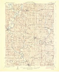
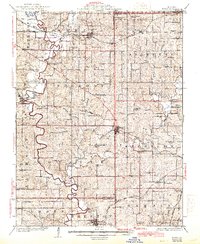
Matheys Mill and Union Mill School stand along the winding course of the Platte River, anchoring a rural landscape defined by small-scale milling and local education in the 1920s. This survey, completed in part by J.G. Staack and J.B. Leavitt, reveals a high density of country schoolhouses such as Arnoldsville School, Ebenezer School, and Madden School, which served the farming townships of Marion, Tremont, and Lafayette. The region is a intersection of early 20th-century rail travel, with the Chicago Rock Island and Pacific and the Chicago Burlington and Quincy railroads facilitating the movement of goods and people through settlements like Easton, Gower, and Stewartsville. Religious and community life is documented through numerous landmarks including Mt Moriah Church and Independence Church, alongside family-named burial grounds like Blinkley Cem and Bretz Cem.
Find a feature on this map
93 named features on this map. Tap any name to fly to it.
Don’t see what you’re looking for? This feature index may not catch every label — zoom into the map to look around manually.
Map Details
Editions of this 1925 Gower Map
3 editions found
Other maps of this area

1890 · Kansas City
USGS Topo · 1:125,000

1894 · Kansas City
USGS Topo · 1:125,000

1894 · Independence
USGS Topo · 1:125,000

1910 · Leavenworth
USGS Topo · 1:62,500

1914 · Smithville
USGS Topo · 1:62,500

1923 · Clarksdale
USGS Topo · 1:62,500

1923 · Maysville
USGS Topo · 1:62,500

1924 · St. Joseph
USGS Topo · 1:62,500

1925 · Clarksdale
USGS Topo · 1:62,500

1925 · Plattsburg
USGS Topo · 1:62,500