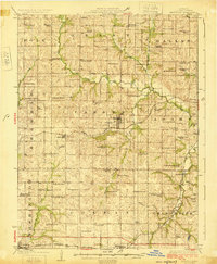
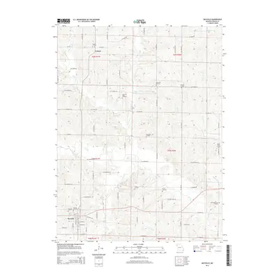
1923 Map of Maysville
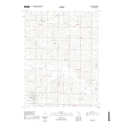
USGS Topo · Published 1966About this map
The county seat of Maysville serves as the central hub of this 1923 survey, revealing a landscape defined by its rural school districts and independent farming communities. The geography is structured by the southward flow of the East Fork and West Fork toward the Grand River, with numerous named schoolhouses like Roberts School, Hedge School, and Lone Oak School marking nearly every section. These small educational outposts, along with country churches like Mt Pleasant Church and Bethel Church, illustrate the dense social fabric of DeKalb County before the consolidation of rural districts.
Find a feature on this map
72 named features on this map. Tap any name to fly to it.
Don’t see what you’re looking for? This feature index may not catch every label — zoom into the map to look around manually.
Map Details
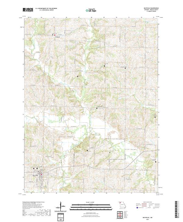
Editions of this 1923 Maysville Map
This is the sole edition of this map. No revisions or reprints were ever made.
Historical Maps of Cameron Through Time
7 maps found
Featured Locations
- Cameron, MO
- Amity, Camden Township
- Maysville, Camden Township
- Stewartsville, Washington Township
- Osborn, Colfax Township