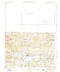
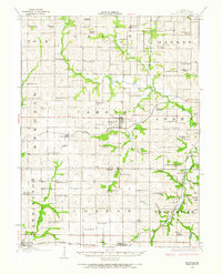
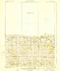
1925 Map of Pattonsburg
USGS Topo · Published 1925About this map
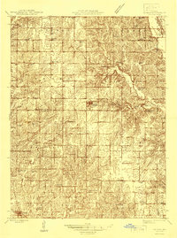
Pattonsburg serves as the central hub of this 1920s Missouri landscape, situated at the junction of the Wabash and Kansas City Omaha and Quincy railroads. The town is bounded by a sharp meander of the Grand River, which dominates the southern half of the quadrangle. To the north, the terrain transitions into a more rural pattern of dispersed schools and churches, including Wesley Chapel and the Everly School. The settlement at Salem, noted also as Coffey, provides a specific point of interest for genealogists tracing family roots near the Little Cypress Creek.
Find a feature on this map
47 named features on this map. Tap any name to fly to it.
Don’t see what you’re looking for? This feature index may not catch every label — zoom into the map to look around manually.
Map Details
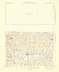
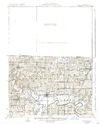
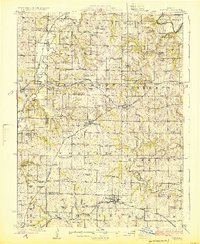
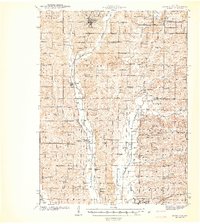
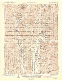
Editions of this 1925 Pattonsburg Map
3 editions found
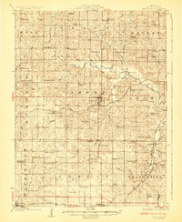
Other maps of this area
1922 · Gallatin
USGS Topo · 1:62,500
1923 · Maysville
USGS Topo · 1:62,500
1924 · Winston
USGS Topo · 1:62,500
1925 · Gilman
USGS Topo · 1:62,500
1925 · Maysville
USGS Topo · 1:62,500
1925 · Darlington
USGS Topo · 1:62,500
1942 · Grant City
USGS Topo · 1:62,500
1943 · Grant City
USGS Topo · 1:62,500
1944 · Pattonsburg
USGS Topo · 1:62,500
1946 · Gilman
USGS Topo · 1:48,000