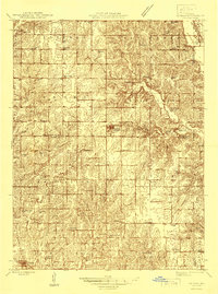
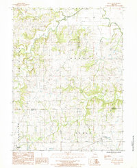
1946 Map of Gilman
USGS Topo · Published 1946About this map
Gilman serves as the central hub of this Missouri landscape, which was mapped between the world wars and finalized just after. This area is characterized by a dense network of one-room schoolhouses, illustrating the decentralized educational structure of rural Daviess and Harrison Counties during the early 20th century. Schools like Sherman Center Sch, Liberty Sch, and Red Sch are scattered across the townships, often serving as the primary landmarks for local farming families.
Find a feature on this map
45 named features on this map. Tap any name to fly to it.
Don’t see what you’re looking for? This feature index may not catch every label — zoom into the map to look around manually.
Map Details
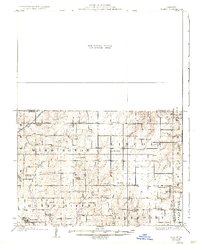
Editions of this 1946 Gilman Map
This is the sole edition of this map. No revisions or reprints were ever made.
Historical Maps of Jameson Through Time
13 maps found
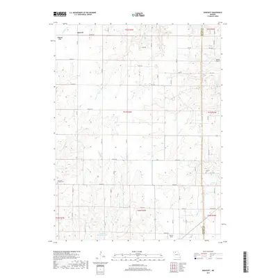
1925 Gilman
Daviess County, MO
1946 Gilman
Daviess County, MO
1948 Gilman
Daviess County, MO
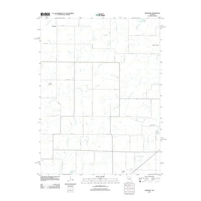
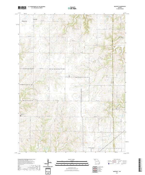
1984 Bancroft
Daviess County, MO
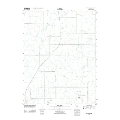
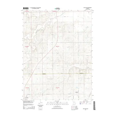
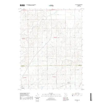
1984 Nettleton
Daviess County, MO
2012 Bancroft
Daviess County, MO
2012 Nettleton
Daviess County, MO
2015 Bancroft
Daviess County, MO
2015 Nettleton
Daviess County, MO
2017 Bancroft
Daviess County, MO
2017 Nettleton
Daviess County, MO
2021 Bancroft
Daviess County, MO
2021 Nettleton
Daviess County, MO