Loading...
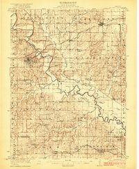
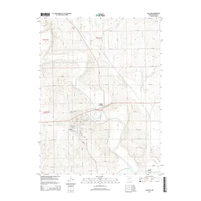
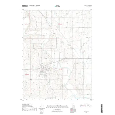
Loading map...1922 Map of Gallatin
USGS Topo · Published 1922About this map
The Grand River carves a winding path through this corner of Northwest Missouri, defining the landscape between the county seat at Gallatin and the smaller settlements of Jamesport and Lockspring. Surveyed in 1920, the map illustrates a densely settled rural economy organized around the river and three competing railroads: the Wabash, the Chicago (Rock Island), and the Chicago Burlington and Quincy.
Find a feature on this map
79 named features on this map. Tap any name to fly to it.
Don’t see what you’re looking for? This feature index may not catch every label — zoom into the map to look around manually.
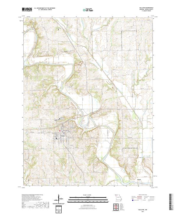
Map Details
Date Portrayed1922
Date Published1922
PublisherU.S. Geological Survey
Map TypeTopographic
Scale1:62,500
Physical Dimensions16.3 x 19.8 inches
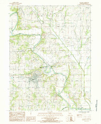
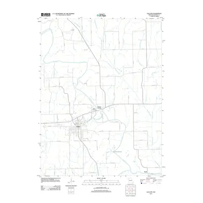
Editions of this 1922 Gallatin Map
2 editions found
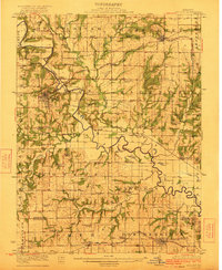
Historical Maps of Gallatin Through Time
6 maps found
Featured Locations
Source Details
SourceU.S. Geological Survey
CopyrightPublic Domain