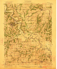
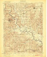
1922 Map of Gallatin
USGS Topo · Published 1922About this map
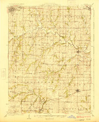
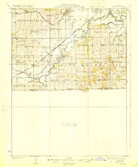
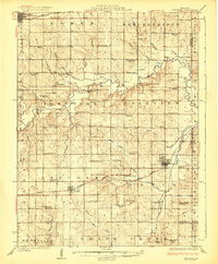
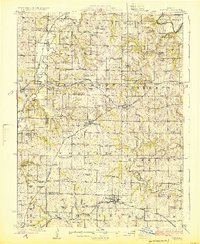
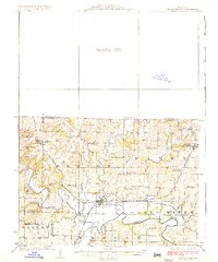
Gallatin and Jamesport serve as the primary hubs in this Daviess County landscape, which is heavily defined by the meandering course of the Grand River and the Thompson River. This 1922 survey reveals a rural society built around a dense network of one-room schoolhouses and country churches, such as Hickory Grove School, Cottonwood School, and Monroe Chapel. The transportation infrastructure of the early 1920s is notably present, with four major rail lines, including the Wabash and the Chicago Rock Island and Pacific, bisecting the townships. The map documents numerous smaller settlements like Lockspring, Blake, and Nettleton, along with distinctive rural landmarks like the Everly Cemetery. Natural features like Tackwood Lake and Honey Creek are shown in relation to the section lines of the Public Land Survey System, illustrating how geography dictated the placement of homesteads and small communities.
Find a feature on this map
84 named features on this map. Tap any name to fly to it.
Don’t see what you’re looking for? This feature index may not catch every label — zoom into the map to look around manually.
Map Details
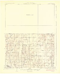
Editions of this 1922 Gallatin Map
2 editions found
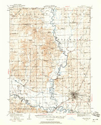
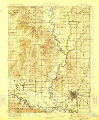
Other maps of this area
1921 · Chillicothe
USGS Topo · 1:62,500
1922 · Gallatin
USGS Topo · 1:62,500
1923 · Chillicothe
USGS Topo · 1:62,500
1924 · Polo
USGS Topo · 1:62,500
1924 · Dawn
USGS Topo · 1:62,500
1924 · Braymer
USGS Topo · 1:62,500
1924 · Winston
USGS Topo · 1:62,500
1925 · Pattonsburg
USGS Topo · 1:62,500
1925 · Gilman
USGS Topo · 1:62,500
1944 · Pattonsburg
USGS Topo · 1:62,500