
1924 Map of Dawn
USGS Topo · Published 1924About this map
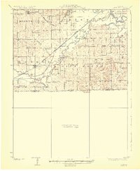
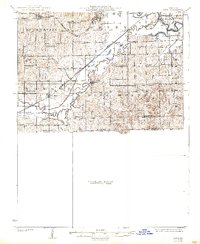
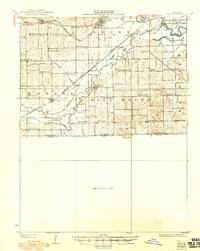
The Chicago Milwaukee and St. Paul railroad cuts diagonally through the heart of Livingston County in this 1920s survey, anchoring the village of Dawn and its vital Dawn Sta. transport hub. The map reveals a densely settled agricultural landscape defined by township boundaries like Mooresville and Blue Mound. A remarkable density of rural educational buildings suggests a thriving era of one-room schoolhouses, with local names like Maple Grove School, Brush College School, and Smith Campbell School marking nearly every square mile of territory.
Find a feature on this map
48 named features on this map. Tap any name to fly to it.
Don’t see what you’re looking for? This feature index may not catch every label — zoom into the map to look around manually.
Map Details
Editions of this 1924 Dawn Map
4 editions found
Other maps of this area

1889 · Lexington
USGS Topo · 1:125,000

1890 · Marshall
USGS Topo · 1:125,000

1892 · Marshall
USGS Topo · 1:125,000

1901 · Marshall
USGS Topo · 1:125,000

1921 · Chillicothe
USGS Topo · 1:62,500

1922 · Gallatin
USGS Topo · 1:62,500

1923 · Chillicothe
USGS Topo · 1:62,500

1924 · Braymer
USGS Topo · 1:62,500

1924 · Chula
USGS Topo · 1:62,500

1924 · Hale
USGS Topo · 1:62,500