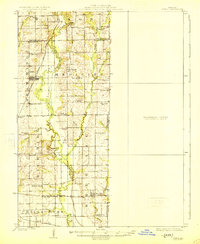
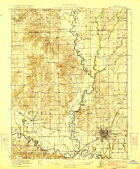
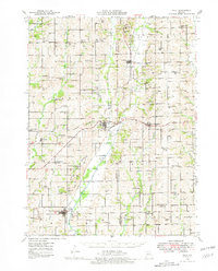
1924 Map of Chula
USGS Topo · Published 1924About this map
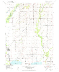
Medicine Creek and its many meandering tributaries, including Norman Branch and Sapp Branch, define the agricultural landscape of this north-central Missouri region during the early 1920s. The settlement of Chula serves as a central hub along the Chicago Milwaukee and St Paul railroad, while Wheeling anchors the southern portion of the sheet at the junction of the Burlington and Quincy line. The map reveals an exceptionally high density of rural schoolhouses, such as New York School, Banner School, and Manning School, illustrating the localized nature of education before the era of school consolidation. Along the ridges of Cream Ridge and Rich Hill, numerous family and community burial grounds are documented, including Stucker Cemetery and Ticket Cemetery. The eastern portion of the survey is noted as a Preliminary Edition Unsurveyed Area, providing a rare look at the USGS mapping process as it moved across the state.
Find a feature on this map
51 named features on this map. Tap any name to fly to it.
Don’t see what you’re looking for? This feature index may not catch every label — zoom into the map to look around manually.
Map Details
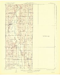
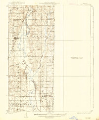
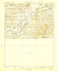
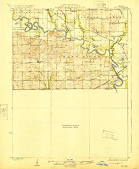
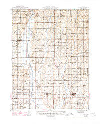
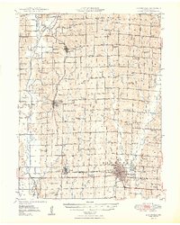
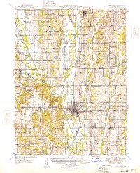
Editions of this 1924 Chula Map
3 editions found
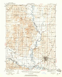
Other maps of this area
1921 · Chillicothe
USGS Topo · 1:62,500
1923 · Chillicothe
USGS Topo · 1:62,500
1924 · Dawn
USGS Topo · 1:62,500
1924 · Hale
USGS Topo · 1:62,500
1946 · Brookfield
USGS Topo · 1:62,500
1946 · Galt
USGS Topo · 1:62,500
1947 · Chula
USGS Topo · 1:62,500
1948 · Brookfield
USGS Topo · 1:62,500
1948 · Trenton
USGS Topo · 1:62,500
1949 · Sumner
USGS Topo · 1:24,000