
1924 Map of Hale
USGS Topo · Published 1924About this map
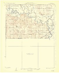
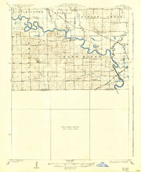
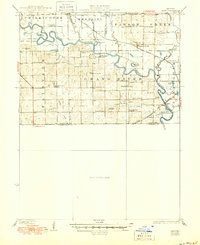
The Grand River winds through this central Missouri landscape, shaping a bottomland terrain defined by oxbow lakes and seasonal wetlands in the early 1920s. Small rural communities like Avalon and Bedford serve as anchors for a dense network of country schools, including Asper School, Hazel Green School, and Independence School, illustrating the localized educational structure of the era. The presence of the Wabash railroad and the Chicago Burlington And Quincy lines highlights the importance of rail transit in connecting these agricultural settlements to larger markets.
Find a feature on this map
50 named features on this map. Tap any name to fly to it.
Don’t see what you’re looking for? This feature index may not catch every label — zoom into the map to look around manually.
Map Details
Editions of this 1924 Hale Map
4 editions found
Other maps of this area

1889 · Lexington
USGS Topo · 1:125,000

1890 · Marshall
USGS Topo · 1:125,000

1892 · Marshall
USGS Topo · 1:125,000

1901 · Marshall
USGS Topo · 1:125,000

1921 · Chillicothe
USGS Topo · 1:62,500

1923 · Chillicothe
USGS Topo · 1:62,500

1924 · Dawn
USGS Topo · 1:62,500

1924 · Chula
USGS Topo · 1:62,500

1946 · Brookfield
USGS Topo · 1:62,500

1947 · Chula
USGS Topo · 1:62,500