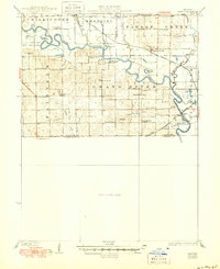
1924 Map of Hale
USGS Topo · Published 1950About this map
The Grand River meanders through this north-central Missouri landscape, defining the topography across the borders of Livingston, Linn, and Carroll counties. This 1921 survey, updated through 1949, reveals a dense network of early 20th-century rural infrastructure, characterized by a schoolhouse nearly every few miles. Local genealogists can trace the locations of Progressive School, Fairland School, Leaton School, and Asper School, among many others that served the dispersed farming communities.
Find a feature on this map
56 named features on this map. Tap any name to fly to it.
Don’t see what you’re looking for? This feature index may not catch every label — zoom into the map to look around manually.
Map Details
Editions of this 1924 Hale Map
4 editions found
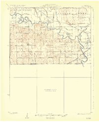
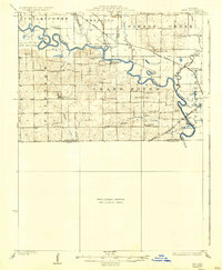
Other maps of this area

1889 · Lexington
USGS Topo · 1:125,000

1890 · Marshall
USGS Topo · 1:125,000

1892 · Marshall
USGS Topo · 1:125,000

1901 · Marshall
USGS Topo · 1:125,000

1921 · Chillicothe
USGS Topo · 1:62,500

1923 · Chillicothe
USGS Topo · 1:62,500

1924 · Dawn
USGS Topo · 1:62,500

1924 · Chula
USGS Topo · 1:62,500

1924 · Hale
USGS Topo · 1:62,500

1946 · Brookfield
USGS Topo · 1:62,500