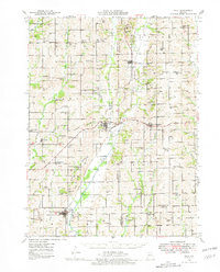
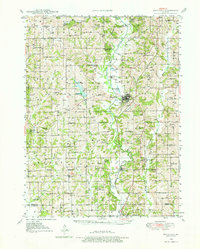
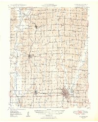
1946 Map of Galt
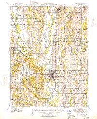
USGS Topo · Published 1981About this map
Galt and Laredo stand as central hubs in this mid-century Missouri landscape, where the Chicago Milwaukee ST Paul And Pacific and Chicago Burlington And Quincy railroads intersect the rolling agricultural terrain. The map reveals a densely settled rural society characterized by a remarkable number of one-room schoolhouses and community churches. From the aptly named Mud College Sch in the north to Marion Center Sch in the south, these institutions appear at nearly every mile, suggesting a time when local life was tethered to small, walk-to neighborhoods. Drainage patterns like Big Little Medicine Creek and Muddy Creek define the township boundaries between Grundy, Sullivan, and Linn counties. Family histories are preserved in several documented burial sites, such as the Sandefur Cem and Richardson Cem, while the location of Lindley and Dunlap show the placement of small villages along the rail corridors before the mid-century transition to larger regional centers.
Find a feature on this map
62 named features on this map. Tap any name to fly to it.
Don’t see what you’re looking for? This feature index may not catch every label — zoom into the map to look around manually.
Map Details
Editions of this 1946 Galt Map
This is the sole edition of this map. No revisions or reprints were ever made.
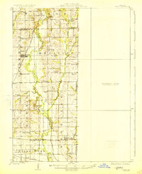
Other maps of this area
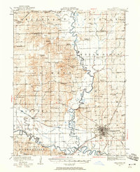
1921 · Chillicothe
USGS Topo · 1:62,500
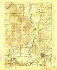
1923 · Chillicothe
USGS Topo · 1:62,500
1924 · Chula
USGS Topo · 1:62,500
1946 · Princeton
USGS Topo · 1:62,500
1946 · Brookfield
USGS Topo · 1:62,500
1947 · Chula
USGS Topo · 1:62,500
1948 · Princeton
USGS Topo · 1:62,500
1948 · Brookfield
USGS Topo · 1:62,500
1948 · Trenton
USGS Topo · 1:62,500
1949 · Galt
USGS Topo · 1:62,500