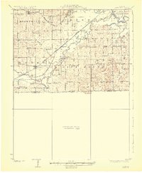
1924 Map of Dawn
USGS Topo · Published 1924About this map
The Grand River and its winding tributaries dominate this 1920s landscape of Livingston and Carroll Counties. The confluence of Shoal Creek and several smaller runs like Rattlesnake Creek and Wolf Creek created a complex hydrological network that defined early settlement patterns. Agriculture and education were the primary drivers of local life, evidenced by a dense concentration of rural schools, including Brush College School, Tonerville School, and Smith Campbell School. The railroad was the lifeblood of these communities, with the Chicago Milwaukee and St Paul passing through Dawn and the Quincy Omaha and Kansas City serving the northern reaches. The terrain is marked by distinctive elevations such as Blue Mound, which provides a geographical anchor for the southern portion of the survey. The distinction between Dawn and Dawn Sta highlights the shift in village centers during the height of the steam rail era.
Find a feature on this map
44 named features on this map. Tap any name to fly to it.
Don’t see what you’re looking for? This feature index may not catch every label — zoom into the map to look around manually.
Map Details
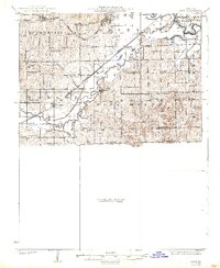
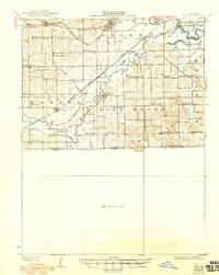
Editions of this 1924 Dawn Map
4 editions found
Other maps of this area

1889 · Lexington
USGS Topo · 1:125,000

1890 · Marshall
USGS Topo · 1:125,000

1892 · Marshall
USGS Topo · 1:125,000

1901 · Marshall
USGS Topo · 1:125,000

1921 · Chillicothe
USGS Topo · 1:62,500

1922 · Gallatin
USGS Topo · 1:62,500

1923 · Chillicothe
USGS Topo · 1:62,500

1924 · Dawn
USGS Topo · 1:62,500

1924 · Braymer
USGS Topo · 1:62,500

1924 · Chula
USGS Topo · 1:62,500