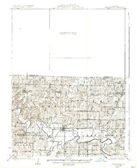
1925 Map of Pattonsburg
USGS Topo · Published 1937About this map
Pattonsburg serves as the central hub of this Missouri landscape, situated where the Grand River and Sampson Creek converge. The settlement pattern in the 1920s reveals a high density of rural infrastructure, with nearly every section of land supporting a local schoolhouse or church. Educational landmarks like Virginia Ridge School, Lebanon School, and Salem School are scattered throughout the townships of Benton, Salem, and Marion, illustrating the dispersed community life of the era. The transportation network is anchored by the Wabash and Kansas City Omaha and railroads, which parallel the river and connect smaller centers like McFall and Quincy. In contrast to the developed south, the northern portion remains a Preliminary Edition Unsurveyed Area, creating a sharp distinction between the detailed river valley and the unmapped prairie to the north.
Find a feature on this map
50 named features on this map. Tap any name to fly to it.
Don’t see what you’re looking for? This feature index may not catch every label — zoom into the map to look around manually.
Map Details
Editions of this 1925 Pattonsburg Map
3 editions found
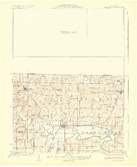
Other maps of this area

1922 · Gallatin
USGS Topo · 1:62,500

1923 · Maysville
USGS Topo · 1:62,500

1924 · Winston
USGS Topo · 1:62,500

1925 · Pattonsburg
USGS Topo · 1:62,500

1925 · Gilman
USGS Topo · 1:62,500

1925 · Maysville
USGS Topo · 1:62,500

1925 · Darlington
USGS Topo · 1:62,500

1942 · Grant City
USGS Topo · 1:62,500

1943 · Grant City
USGS Topo · 1:62,500

1944 · Pattonsburg
USGS Topo · 1:62,500