
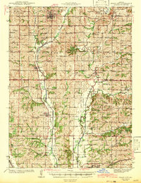
1943 Map of Grant City
USGS Topo · Published 1943About this map
Grant City and the surrounding agricultural townships of Northwest Missouri appear here just before the mid-century, defined by a dense network of rural schoolhouses and country churches. The landscape is carved by the Middle Fork Grand River, the East Fork Grand River, and the Dawson River, which dictated the early settlement patterns of villages like Worth and Denver. The Chicago Burlington and Quincy RR provides the primary industrial artery, running north-south through the county. This survey documents a social geography of small-scale farming communities, marked by family-named landmarks like McKean Sch, Bressler Sch, and Wharton Cem. The map reveals the transition from isolated rural education to more centralized towns, while preserving the locations of numerous neighborhood centers such as Hugginsville Sch and New Friendship Ch that anchored local life in the early 1940s.
Find a feature on this map
87 named features on this map. Tap any name to fly to it.
Don’t see what you’re looking for? This feature index may not catch every label — zoom into the map to look around manually.
Map Details
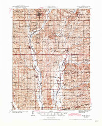
Editions of this 1943 Grant City Map
3 editions found
Other maps of this area

1925 · Pattonsburg
USGS Topo · 1:62,500

1925 · Stanberry
USGS Topo · 1:62,500

1925 · Darlington
USGS Topo · 1:62,500

1939 · Stanberry
USGS Topo · 1:62,500

1940 · Blockton
USGS Topo · 1:62,500

1940 · Bedford
USGS Topo · 1:62,500

1940 · Parnell
USGS Topo · 1:62,500

1942 · Grant City
USGS Topo · 1:62,500

1943 · Bedford
USGS Topo · 1:62,500

1943 · Parnell
USGS Topo · 1:62,500