Loading...
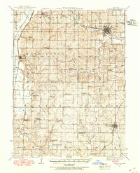
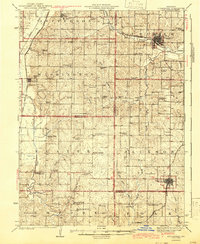
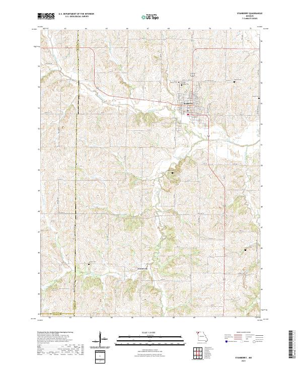
Loading map...1939 Map of Stanberry
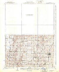
USGS Topo · Published 1954About this map
Conception College stands as a prominent landmark in the northwest corner of this Missouri landscape, situated just south of Conception. The region's development during the late 1930s is defined by a dense network of rural schoolhouses and small agricultural communities connected by three major railroads. The Chicago Great Western follows the Platte River valley past Guilford, while the Wabash serves Stanberry, and the Chicago Burlington and Quincy reaches King City.
Find a feature on this map
65 named features on this map. Tap any name to fly to it.
Don’t see what you’re looking for? This feature index may not catch every label — zoom into the map to look around manually.
Map Details
Date Portrayed1939
Date Published1954
PublisherU.S. Geological Survey
Map TypeTopographic
Scale1:62,500
Physical Dimensions16.9 x 20.8 inches
Editions of this 1939 Stanberry Map
This is the sole edition of this map. No revisions or reprints were ever made.
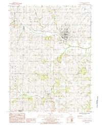
Historical Maps of Stanberry Through Time
8 maps found
Featured Locations
- Empire Prairie, MO
- Cawood, MO
- Guilford, Washington Township
- Stanberry, Cooper Township
- King City, Jackson Township
Source Details
SourceU.S. Geological Survey
CopyrightPublic Domain