
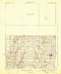
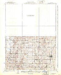
1925 Map of Stanberry
USGS Topo · Published 1925About this map
King City anchors the eastern edge of this landscape, situated at the intersection of a local road network and the Chicago Burlington and Quincy railroad line. The map captures a transitional era of rural education, documented through a high density of country schoolhouses such as Bachelor Hall School, Garfield School, and the colorfully named Blue School. These institutions, spaced every few miles to serve walking students, reveal the fine-grained settlement pattern of Northwest Missouri in the 1920s.
Find a feature on this map
36 named features on this map. Tap any name to fly to it.
Don’t see what you’re looking for? This feature index may not catch every label — zoom into the map to look around manually.
Map Details
Editions of this 1925 Stanberry Map
3 editions found
Other maps of this area

1923 · Clarksdale
USGS Topo · 1:62,500

1923 · Maysville
USGS Topo · 1:62,500

1924 · St. Joseph
USGS Topo · 1:62,500

1925 · Clarksdale
USGS Topo · 1:62,500

1925 · Maysville
USGS Topo · 1:62,500

1925 · Darlington
USGS Topo · 1:62,500

1926 · Saint Joseph
USGS Topo · 1:62,500

1927 · Bolckow
USGS Topo · 1:62,500

1939 · Stanberry
USGS Topo · 1:62,500

1940 · Parnell
USGS Topo · 1:62,500