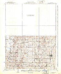
1925 Map of Stanberry
USGS Topo · Published 1940About this map
King City anchors the southeastern portion of this 1920s survey, showing its early street grid and connection to the Chicago Burlington and Quincy railroad. The surrounding landscape is a dense network of township sections across Platte, Jackson, Empire, and Polk, where the rural economy relied heavily on local centers like Whitesville, Cawood, and Flag Springs. The map reveals a remarkable concentration of district schools, highlighting a period before rural school consolidation.
Find a feature on this map
32 named features on this map. Tap any name to fly to it.
Don’t see what you’re looking for? This feature index may not catch every label — zoom into the map to look around manually.
Map Details
Editions of this 1925 Stanberry Map
3 editions found
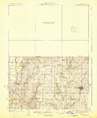
Other maps of this area

1923 · Clarksdale
USGS Topo · 1:62,500

1923 · Maysville
USGS Topo · 1:62,500

1924 · St. Joseph
USGS Topo · 1:62,500

1925 · Clarksdale
USGS Topo · 1:62,500

1925 · Stanberry
USGS Topo · 1:62,500

1925 · Maysville
USGS Topo · 1:62,500

1925 · Darlington
USGS Topo · 1:62,500

1926 · Saint Joseph
USGS Topo · 1:62,500

1927 · Bolckow
USGS Topo · 1:62,500

1939 · Stanberry
USGS Topo · 1:62,500