Loading...
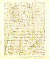
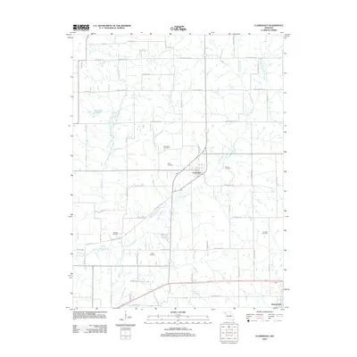
Loading map...1925 Map of Clarksdale
USGS Topo · Published 1925About this map
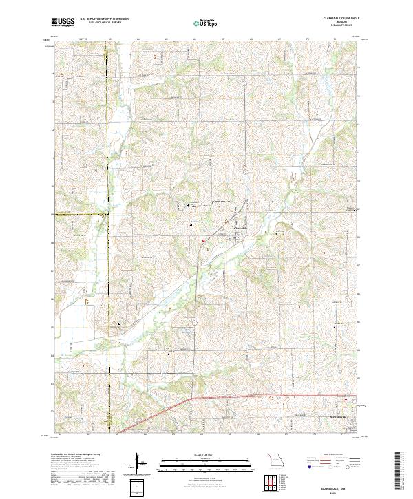
The Platte River and its intricate tributaries dominate this landscape in Northwest Missouri, where the river's winding path separates the townships of Empire and Rochester. A dense network of rural infrastructure is visible, including unique river crossings like Wire Bridge and Van Meter Bridge, which served the local farming communities. The region's social fabric in the 1920s is clearly mapped through a high density of country schools and churches, such as Fountain Blue School, High Prairie Church, and Zion Church.
Find a feature on this map
80 named features on this map. Tap any name to fly to it.
Don’t see what you’re looking for? This feature index may not catch every label — zoom into the map to look around manually.
Map Details
Date Portrayed1925
Date Published1925
PublisherU.S. Geological Survey
Map TypeTopographic
Scale1:62,500
Physical Dimensions16.3 x 19.8 inches
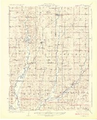
Editions of this 1925 Clarksdale Map
2 editions found
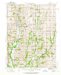
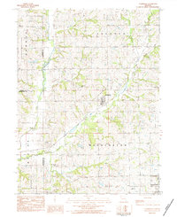
Historical Maps of Saint Joseph Through Time
7 maps found
Featured Locations
- Saint Joseph, MO
- Cosby, MO
- Union Star, Polk Township
- Clarksdale, Washington Township
- Stewartsville, Washington Township
Source Details
SourceU.S. Geological Survey
CopyrightPublic Domain