
1925 Map of Plattsburg
USGS Topo · Published 1925About this map
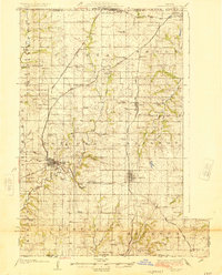
The town of Plattsburg serves as a central hub in this Clinton County landscape during the mid-1920s, situated where the Little Platte River meets a network of major railroads. The area's agrarian roots are evident through the high density of one-room schoolhouses and rural churches, such as Log Church School and Lebanon Church. Three primary rail lines—the Chicago Rock Island and Pacific, Atchison Topeka and Santa Fe, and the Chicago Burlington and Quincy—crisscross the territory, connecting established settlements like Lathrop and Cameron to the wider region. The topography is defined by the winding paths of the Platte River and its many tributaries, including Shoal Creek and Castile Creek, which carve through the townships of Concord and Shoal. This survey captures a moment when rural life was still deeply localized around community landmarks like Hazel Dell School and Prairie Cottage School before modern consolidation.
Find a feature on this map
70 named features on this map. Tap any name to fly to it.
Don’t see what you’re looking for? This feature index may not catch every label — zoom into the map to look around manually.
Map Details
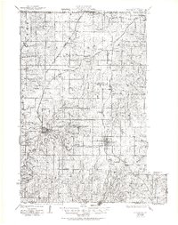
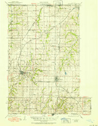
Editions of this 1925 Plattsburg Map
4 editions found
Other maps of this area

1890 · Kansas City
USGS Topo · 1:125,000

1894 · Kansas City
USGS Topo · 1:125,000

1894 · Independence
USGS Topo · 1:125,000

1914 · Smithville
USGS Topo · 1:62,500

1923 · Clarksdale
USGS Topo · 1:62,500

1923 · Maysville
USGS Topo · 1:62,500

1924 · Polo
USGS Topo · 1:62,500

1924 · Winston
USGS Topo · 1:62,500

1925 · Gower
USGS Topo · 1:62,500

1925 · Clarksdale
USGS Topo · 1:62,500