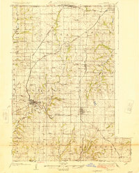
1925 Map of Plattsburg
USGS Topo · Published 1925About this map
Plattsburg serves as the focal point of this Northwest Missouri landscape in the mid-1920s, where the convergence of several major railroads dictates the region's development. The Chicago Burlington and Quincy RR, Chicago Rock Island and Pacific RR, and Quincy Omaha and Kansas City RR crisscross the terrain, connecting smaller stations like Perrin, Turney, and Lathrop. This infrastructure supported a dense network of rural school districts, including the Log Church School, Grand Prairie School, and Hazel Dell School, which provided community anchors for families farming the land between the Platte River and Shoal Creek. The map documents a highly organized agrarian society characterized by specific local landmarks such as Lebanon Church and the Forest Hill School, reflecting the distribution of population before the widespread consolidation of rural institutions. Geographers will note how the drainage of the Castile Creek and Little Platte River systems influenced the placement of the early road and rail lines.
Find a feature on this map
76 named features on this map. Tap any name to fly to it.
Don’t see what you’re looking for? This feature index may not catch every label — zoom into the map to look around manually.
Map Details
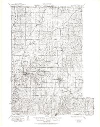
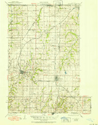
Editions of this 1925 Plattsburg Map
4 editions found

Other maps of this area

1890 · Kansas City
USGS Topo · 1:125,000

1894 · Kansas City
USGS Topo · 1:125,000

1894 · Independence
USGS Topo · 1:125,000

1914 · Smithville
USGS Topo · 1:62,500

1923 · Clarksdale
USGS Topo · 1:62,500

1923 · Maysville
USGS Topo · 1:62,500

1924 · Polo
USGS Topo · 1:62,500

1924 · Winston
USGS Topo · 1:62,500

1925 · Gower
USGS Topo · 1:62,500

1925 · Clarksdale
USGS Topo · 1:62,500