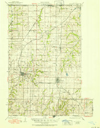
1925 Map of Plattsburg
USGS Topo · Published 1951About this map
Plattsburg serves as the focal point of this 1920s Clinton County survey, positioned at the convergence of multiple rail lines and the Little Platte River. The landscape reflects a dense network of rural education and community centers, with dozens of family-named schoolhouses such as Hazel Dell School, Duncan School, and Oak Grove School serving the surrounding farmsteads. This era was defined by the peak of the steam rail economy in northwest Missouri, illustrated by the radiating tracks of the Chicago Rock Island and Pacific and the Atchison Topeka and Santa Fe. Beyond the main settlements of Lathrop and Osborn, the map documents smaller junctions like Perrin and Turney, alongside long-established landmarks like Lebanon Church and Smith Fork Church. The intricate contouring details the drainage of Shoal Creek and its many branches, showing the terrain as it appeared before mid-century agricultural shifts changed the rural character of the county.
Find a feature on this map
73 named features on this map. Tap any name to fly to it.
Don’t see what you’re looking for? This feature index may not catch every label — zoom into the map to look around manually.
Map Details
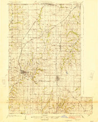
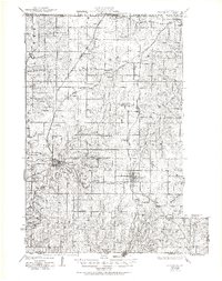
Editions of this 1925 Plattsburg Map
4 editions found

Other maps of this area

1890 · Kansas City
USGS Topo · 1:125,000

1894 · Kansas City
USGS Topo · 1:125,000

1894 · Independence
USGS Topo · 1:125,000

1914 · Smithville
USGS Topo · 1:62,500

1923 · Clarksdale
USGS Topo · 1:62,500

1923 · Maysville
USGS Topo · 1:62,500

1924 · Polo
USGS Topo · 1:62,500

1924 · Winston
USGS Topo · 1:62,500

1925 · Gower
USGS Topo · 1:62,500

1925 · Clarksdale
USGS Topo · 1:62,500