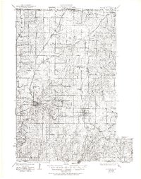
1925 Map of Plattsburg
USGS Topo · Published 1951About this map
Plattsburg serves as the focal point of this Clinton County landscape, where the confluence of the Atchison Topeka and Santa Fe and Chicago Rock Island and Pacific railroads once defined the local economy. The surrounding townships of Concord, Lathrop, and Platte are densely dotted with one-room schoolhouses, including Prairie Cottage School and the uniquely named Log Church School, illustrating the localized educational structure of the 1920s.
Find a feature on this map
71 named features on this map. Tap any name to fly to it.
Don’t see what you’re looking for? This feature index may not catch every label — zoom into the map to look around manually.
Map Details
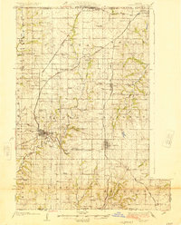
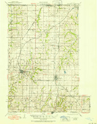
Editions of this 1925 Plattsburg Map
4 editions found

Other maps of this area

1890 · Kansas City
USGS Topo · 1:125,000

1894 · Kansas City
USGS Topo · 1:125,000

1894 · Independence
USGS Topo · 1:125,000

1914 · Smithville
USGS Topo · 1:62,500

1923 · Clarksdale
USGS Topo · 1:62,500

1923 · Maysville
USGS Topo · 1:62,500

1924 · Polo
USGS Topo · 1:62,500

1924 · Winston
USGS Topo · 1:62,500

1925 · Gower
USGS Topo · 1:62,500

1925 · Clarksdale
USGS Topo · 1:62,500