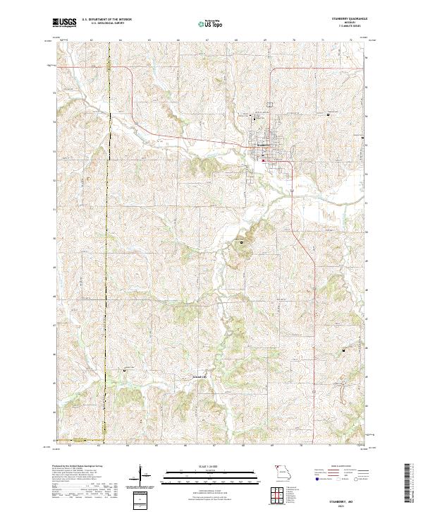
1943 Map of Stanberry
USGS Topo · Published 1943About this map
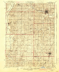
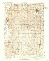
The Platte River snakes through the western portion of this Northwest Missouri landscape, defining the agricultural character of the region. Significant rail hubs at Stanberry and King City anchor the local economy, where the Wabash and Chicago Great Western railroads intersect the rolling prairie. This survey, compiled from work in 1923 and 1939, provides a census of a vanishing rural school system, documenting dozens of localized education sites such as Prairie Flower School, Hickory Creek School, and Lincoln School. Higher education is represented by Conception College near the northern border. Beyond the larger towns, small settlements and named corners like Island City, Whitesville, and Cawood represent the social fabric of the era. The mapping of cemeteries like Whiteford Cem and Grange Cem, alongside rural houses of worship like Bethel Ch, offers precise geographic markers for genealogical research in this multi-county area.
Find a feature on this map
66 named features on this map. Tap any name to fly to it.
Don’t see what you’re looking for? This feature index may not catch every label — zoom into the map to look around manually.
Map Details
Editions of this 1943 Stanberry Map
This is the sole edition of this map. No revisions or reprints were ever made.
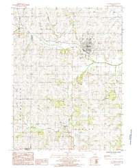
Historical Maps of Stanberry Through Time
8 maps found
Featured Locations
- Empire Prairie, MO
- Cawood, MO
- Guilford, Washington Township
- Stanberry, Cooper Township
- King City, Jackson Township